
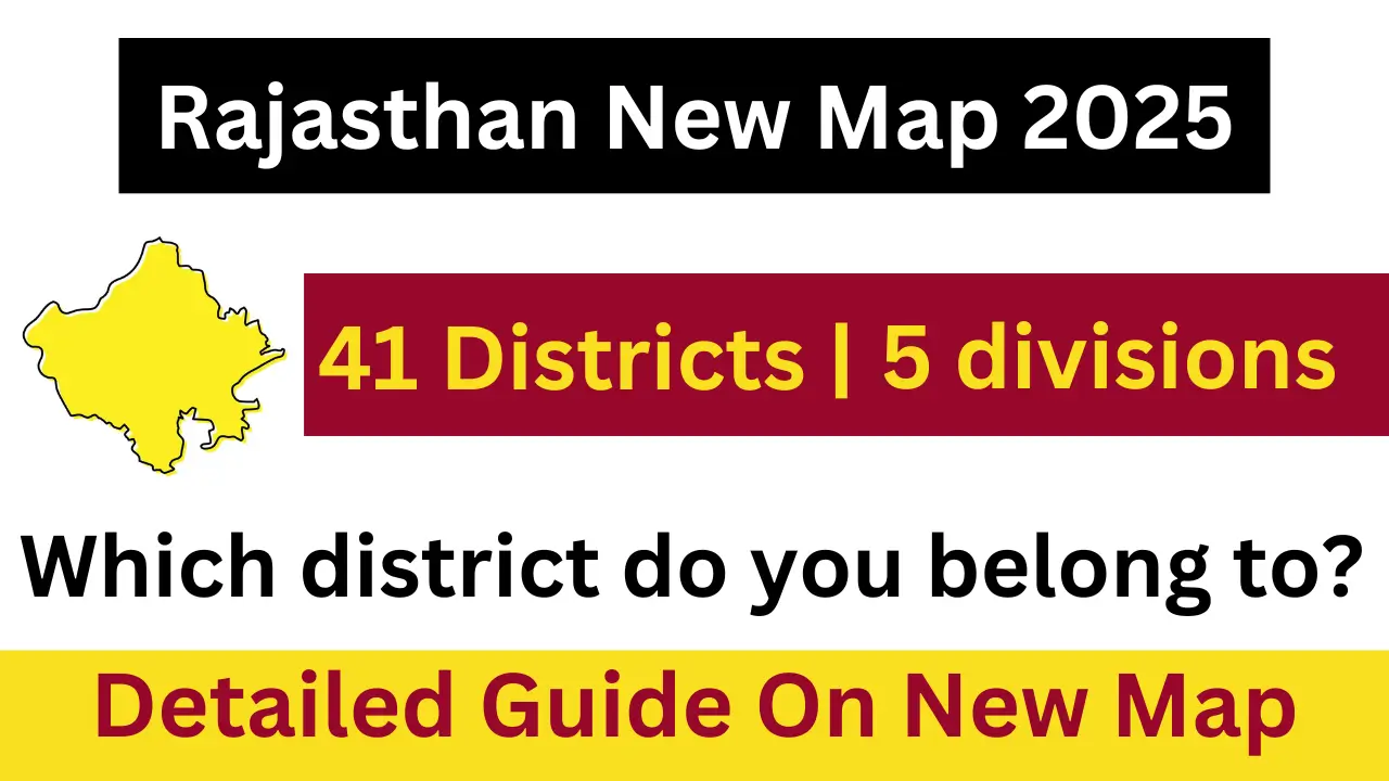
The Rajasthan government has recently released the new administrative map for 2025, marking significant changes in the state’s district and division structure. As part of this reorganization, the total number of districts has been reduced from 50 to 41, and the number of divisions has decreased from 10 to 7. This restructuring aims to enhance administrative efficiency and improve governance across the state. The new map reflects these changes and provides updated boundaries for each district, which is essential for both residents and government officials.
The revised map will be available for download in PDF format on official government websites, including the Survey of India and the Rajasthan Government’s portal. The changes have been implemented following a review by a cabinet committee, which recommended the cancellation of certain districts and divisions that were deemed inefficient. The new administrative structure is expected to streamline governance and improve resource management within the state.
In this article, we will explore the details of Rajasthan’s new map for 2025, including the changes made, the districts affected, and how residents can access this updated information.
Rajasthan New Map Overview
| Total Districts | 41 |
| Total Divisions | 7 |
| Districts Cancelled | 9 |
| Divisions Cancelled | 3 |

Changes in Districts and Divisions
The recent restructuring has led to the cancellation of nine districts that were newly formed under previous administrations. These districts are:
- Dudu
- Kekri
- Shahpura
- Neemkathana
- Gangapur City
- Jaipur Rural
- Jodhpur Rural
- Anupgarh
- Sanchore
Additionally, three divisions have also been dissolved:
- Pali Division
- Banswara Division
- Sikar Division
This restructuring aims to consolidate administrative functions and enhance public service delivery across the state.
District Breakdown
Here is a table showcasing the remaining districts in Rajasthan after the restructuring:
| District Name | District Code |
| Ajmer | 01 |
| Alwar | 02 |
| Banswara | 03 |
| Barmer | 04 |
| Bharatpur | 05 |
| Bhilwara | 06 |
| Bikaner | 07 |
| Churu | 08 |
| Dausa | 09 |
| Dholpur | 10 |
| Dungarpur | 11 |
| Hanumangarh | 12 |
| Jaipur | 13 |
| Jaisalmer | 14 |
| Jalore | 15 |
| Jhunjhunu | 16 |
| Jodhpur | 17 |
| Karauli | 18 |
| Kota | 19 |
| Nagaur | 20 |
| Pali | 21 |
| Rajsamand | 22 |
| Sawai Madhopur | 23 |
| Sikar | 24 |
| Sirohi | 25 |
| Tonk | 26 |
| Udaipur | 27 |
Eligibility Criteria for Residents
- Residents must ensure they are registered in their respective districts.
- Updated identification documents may be required reflecting any changes in district boundaries.
- Local government services will continue to operate under the new district structure.
Importance of New Map
- It provides clarity on administrative boundaries, which is essential for governance.
- It helps residents understand their district affiliations better.
- It aids in resource allocation and planning by government departments.
How to Access the New Map
- Visit Official Websites: The new map will be available on official platforms such as the Survey of India or Rajasthan Government portals.
- Download PDF: Residents can download the updated map in PDF format for personal reference.
- Check Local Government Offices: Hard copies may also be available at local government offices for those who prefer physical maps.
Important Dates
- Announcement Date: December 29, 2024
- Map Availability Date: Expected soon in early January 2025

Conclusion
The release of Rajasthan’s new map for 2025 signifies a major shift in administrative organization within the state. With a focus on improving governance and resource management, these changes are expected to benefit residents significantly. It is essential for citizens to stay informed about their district’s boundaries and any implications these adjustments may have on local services. By accessing the new map, residents can better understand their place within this updated administrative framework.